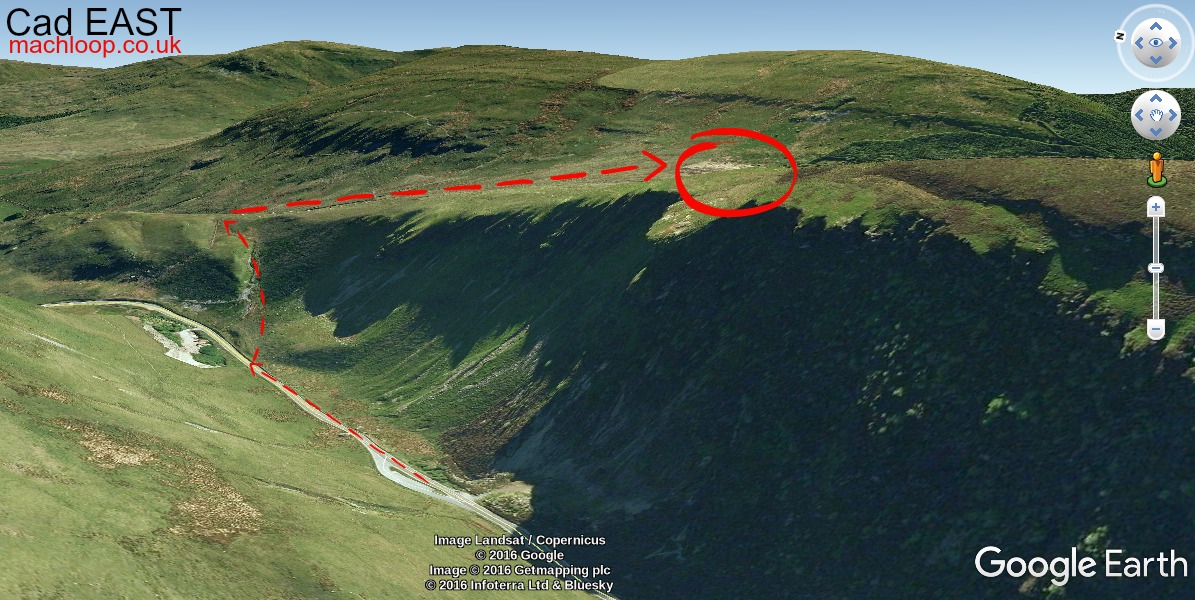
Cad East is widely regarded as the best location for photography — particularly for those new to shooting fast jets. Aircraft arrive from your right with noticeably more warning time than most other spots. You are rarely caught off-guard, making it far more forgiving for learning tracking technique and camera settings.
On a clear day the views extend to Bala Lake to the east and Snowdon to the north. Even on a quiet day with no aircraft, the walk is worthwhile for the scenery alone.
Photography at Cad East
The topside angle puts valley walls below the aircraft and open sky above — a clean composition. Morning light from the east illuminates upper surfaces well. A 400–600mm equivalent focal length is ideal. Aircraft approach from the right, so position yourself with clear sightlines to that side.